RIGHTS OF WAY
Every public path is yours
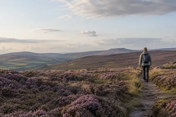
GOV.UK says you can walk on all public rights of way. Some are also open to horse riders, cyclists or even cars.
Read the arrows doodlefreedom
THE RIGHT TO ROAM
More of the countryside is open to you than you might think.
KEEP TO THE WAY and roam where it's open
187,341 km Public rights of way on OS maps
In England and Wales you can walk every public right of way, and roam freely across open access land such as moors, heaths and downs. A few rules keep that freedom working for walkers, farmers and wildlife.
THE SHORT ANSWER
Two kinds of access do most of the work.
Rights of way go anywhere; access land lets you leave the path.
RIGHTS OF WAY
GOV.UK says you can walk on all public rights of way. Some are also open to horse riders, cyclists or even cars.
Read the arrowsACCESS LAND
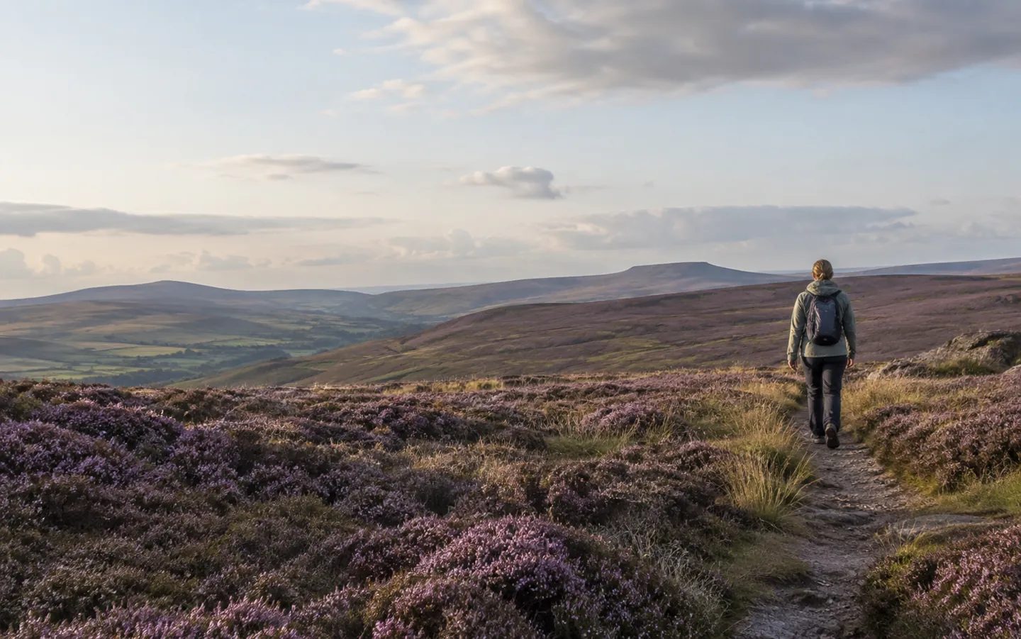
On open access land, such as mountains, moors, heaths, downs and registered common land, you can walk, run, climb and watch wildlife without using paths.
See the numbersDOGS
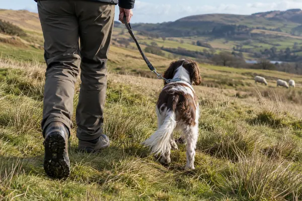
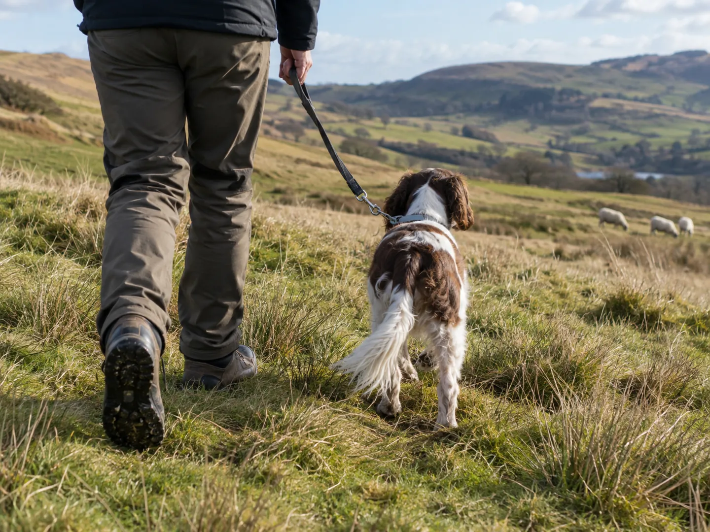
On open access land your dog must be on a lead no longer than 2 metres from 1 March to 31 July, and at all times around livestock.
Before you goREAD THE ARROWS
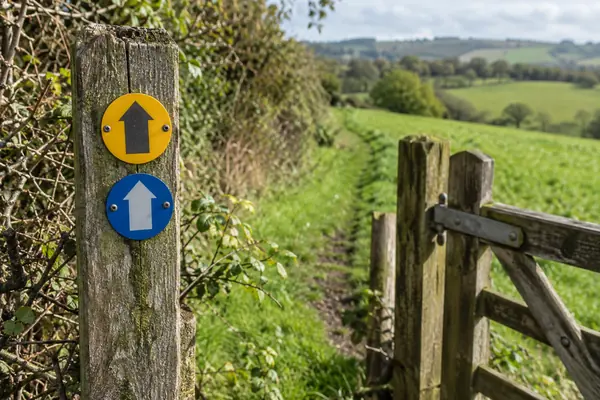
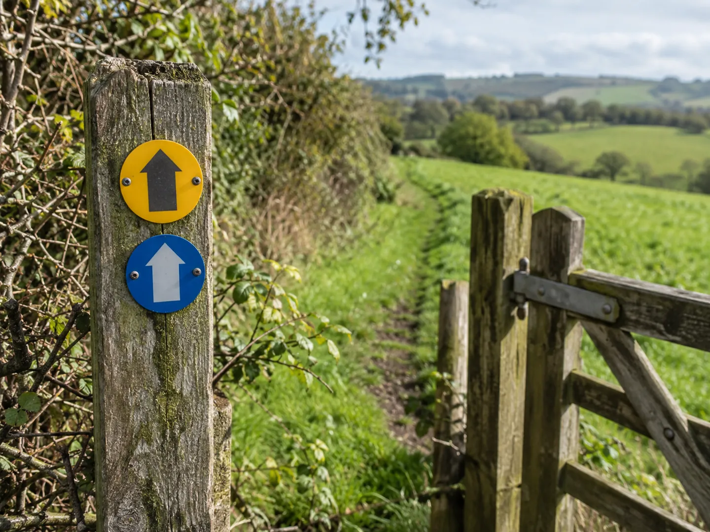
Waymark arrows tell you who may use a route. Pick one to see who it is for. The bar shows how many kinds of user the route allows.
Based on GOV.UK guidance on rights of way and the Countryside Code for England and Wales. General information, not legal advice.
FOUR HABITS FOR A GOOD WALK
The Countryside Code asks for a few simple things in return. Most of them take no effort at all once they are habits.
Farmers close gates to keep animals in, or leave them open so animals can reach food and water. In a group, make sure the last person knows.
Keep to marked paths, even when muddy, unless you are on open access land. It protects crops and wildlife.
Keep your dog in sight and under control. If cattle or horses threaten you, let the dog off the lead so you can both reach safety.
Litter and dog poo bags go home or in a public bin. Only have a barbecue where signs say you can.
TWO NUMBERS WORTH KNOWING
One figure for the whole network in England,
one for how much of it is footpath.
187,341 km
Public rights of way on OS maps
Ordnance Survey's production database recorded 187,341 km of public rights of way in England in 2023, and 33,613 km in Wales. Local councils hold the official definitive maps.
ENGLAND · ORDNANCE SURVEY
143,330 km
Of which footpaths
Footpaths make up most of England's network. Bridleways add 35,525 km, byways open to all traffic 4,598 km and restricted byways 3,888 km.
FOOTPATHS · ORDNANCE SURVEY
Ordnance Survey says its figures come from published rights of way on its 1:25,000 maps and may not exactly match councils' definitive maps (FOI231141, August 2023).
WHERE ROAMING STOPS
Even on open access land some areas stay private. GOV.UK calls this excepted land: houses and their courtyards, land growing crops, building sites, parks and gardens, golf courses, racecourses, railways and working quarries. Use a public right of way to cross it.
Scotland works differently. The Land Reform (Scotland) Act 2003 gives responsible, non-motorised access to most land and inland water and the foreshore, for walking, cycling, riding, paddling and swimming, guided by the Scottish Outdoor Access Code.
Questions
No. You can walk all public rights of way and roam on open access land, such as mountains, moors, heaths, downs and registered common land. Elsewhere you need the landowner's permission, unless another right applies.
Yellow is a footpath, blue a bridleway, purple a restricted byway and red a byway open to all traffic. An acorn marks a National Trail, one of 16 long-distance routes in England and Wales.
Not usually. GOV.UK lists horse riding, cycling, camping, driving and water sports among the things you cannot normally do there, unless the landowner allows it or a bridleway or byway crosses the land.
On open access land, on a lead no longer than 2 metres between 1 March and 31 July to protect ground-nesting birds, and at all times around livestock. Local signs may add other restrictions.
Contact the local council to report obstructions, poor maintenance or a misleading sign. The Countryside Code gives a 'private - no entry' sign on a public footpath as an example.
Updated
ABOUT THIS NAME
doodlefreedom.com is part of the DoodleSale portfolio. It isn't in an auction right now, but you can ask about leasing it.